
In geotechnical engineering, understanding and managing slope behavior is essential for protecting infrastructure, communities, and natural environments. Slope monitoring plays a critical role in identifying early signs of instability and preventing catastrophic failures such as landslides, rockfalls, and embankment collapses. Through careful observation and data collection, engineers can assess slope movement, pore water pressure, and deformation patterns over time.
Organizations like G3SoilWorks work with infrastructure developers, engineers, and regulators to implement effective instrumentation and monitoring of slope stability programs that support safer construction and long-term slope performance. Whether applied to transportation corridors, open-pit mines, dams, or natural hillsides, modern slope stability monitoring integrates geotechnical instrumentation, data analysis, and engineering expertise to detect risks before they become failures.
This guide explains how slope monitoring works, the instruments used to track slope behavior, and best practices for designing reliable monitoring programs.
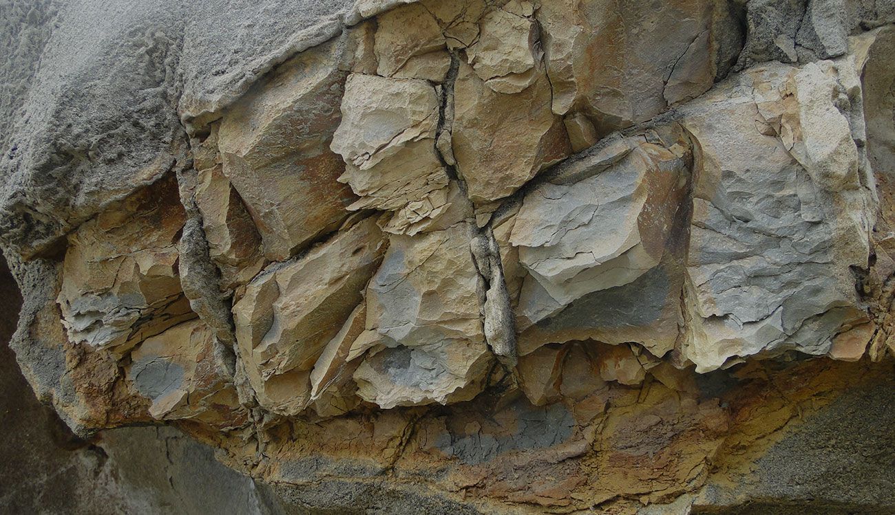
Slopes exist in many engineered and natural environments, including highways, railways, dams, mines, and hillside developments. While slopes may appear stable, internal processes such as soil creep, groundwater changes, seismic activity, or construction loading can gradually reduce stability.
Effective slope stability monitoring helps engineers:
For project managers and regulators, slope monitoring is also an important risk management tool. Continuous monitoring provides measurable data that supports maintenance planning, regulatory compliance, and emergency response planning.
Modern instrumentation for slope stability combines surface measurements, subsurface sensors, and remote monitoring technologies. Each method provides different insights into slope behavior.
Surface monitoring measures movement or deformation at the ground surface.
Common techniques include:
These methods are particularly useful for tracking large-scale slope movements and identifying areas of surface instability.
Subsurface monitoring instruments provide insight into what is happening below the surface, where many slope failures originate.
Common subsurface instruments include:
Subsurface data is essential for understanding failure mechanisms and evaluating long-term slope stability.
Remote monitoring technologies allow engineers to observe slopes continuously without requiring on-site inspections.
Examples include:
These systems are especially valuable for large or hazardous slopes where frequent field access is difficult.
A successful instrumentation and monitoring of slope stability program typically includes a combination of instruments designed to measure displacement, groundwater conditions, and structural movement.
Common instrumentation for slope stability includes:
| Instrument | What It Measures | Typical Applications |
| Inclinometer | Subsurface lateral movement | Landslides, embankments |
| Piezometer | Pore water pressure | Dams, earthworks |
| Extensometer | Internal displacement | Rock slopes |
| Tilt sensor | Surface tilt changes | Infrastructure slopes |
| GPS monitoring systems | Surface displacement | Transportation corridors |
Each instrument contributes to a comprehensive understanding of slope performance over time.
Modern slope stability monitoring systems typically operate through several key stages.
Sensors are strategically installed in areas where movement or instability is most likely to occur. Placement is determined through geotechnical investigations and slope stability analyses.
Sensors measure variables such as displacement, groundwater pressure, and tilt. Data may be collected manually or through automated systems.
Many modern monitoring systems transmit data through wireless telemetry or cloud-based platforms, enabling real-time monitoring.
Engineers analyze trends in slope movement, groundwater pressure, and deformation patterns to identify emerging risks.
When monitoring thresholds are exceeded, automated alerts allow engineers or project managers to take corrective action before failure occurs.
Designing a reliable monitoring program requires careful planning and geotechnical expertise.
Key steps include:
Understanding soil properties, rock formations, groundwater conditions, and historical slope movement is essential before installing monitoring systems.
Engineers select appropriate instrumentation for slope stability based on slope type, expected failure mechanisms, and project requirements.
Sensors must be installed in locations where they can detect meaningful changes in slope behavior.
Some slopes require continuous real-time monitoring, while others may only require periodic manual readings.
Collected data should be stored, organized, and analyzed to identify trends and support engineering decisions.
Slope monitoring is used across multiple industries where slope stability is critical.
Open-pit mines require continuous monitoring of highwall slopes to prevent rockfalls and protect workers.
Highways and railways constructed along steep terrain often rely on slope stability monitoring to detect movement before it impacts roadways or rail lines.
Monitoring systems help engineers track deformation and groundwater pressure within embankment structures.
Hillside developments and retaining structures benefit from slope monitoring to protect buildings and infrastructure.
Environmental engineers and hydrologists monitor slopes to evaluate impacts on watersheds, erosion patterns, and habitat stability.
Successful monitoring programs follow several best practices:
Long-term monitoring is particularly valuable for identifying slow-moving slopes that may take years to develop significant instability.
Understanding slope behavior is essential for safe infrastructure development and environmental protection. Slope monitoring provides engineers with the data needed to detect instability, evaluate risk, and implement timely mitigation measures.
Through proper instrumentation and monitoring of slope stability, engineers can better understand how slopes respond to environmental conditions, construction activities, and long-term geological processes. Effective slope stability monitoring programs integrate surface surveys, subsurface instruments, and modern remote monitoring technologies to provide a comprehensive view of slope performance.
Organizations such as G3SoilWorks support engineers, infrastructure managers, and regulatory agencies by developing monitoring strategies that enhance safety, improve risk management, and ensure reliable slope performance over time.
The selection of slope monitoring instruments depends on slope geometry, soil or rock type, groundwater conditions, expected failure mechanisms, and project risk level. Engineers often combine multiple monitoring tools to obtain a comprehensive understanding of slope behavior.
Climate conditions such as rainfall intensity, seasonal groundwater fluctuations, freeze–thaw cycles, and prolonged drought can significantly influence slope stability. Monitoring programs often track environmental conditions to understand how weather patterns affect slope movement.
Yes. Monitoring data can be incorporated into numerical slope stability models and predictive analytics. This integration helps engineers evaluate failure scenarios, refine stability analyses, and improve long-term risk forecasting.
Automated monitoring systems allow continuous measurement and real-time data transmission. These systems reduce the need for frequent site visits and enable faster response to slope movement, improving safety and operational efficiency.
Regulatory agencies often require monitoring data to verify slope safety, assess environmental impacts, and ensure compliance with construction or mining permits. Monitoring results can support reporting requirements and risk mitigation planning.
Follow, engage, learn. Stop by our blog to see what’s happening at G3SoilWorks.
G3Soilworks – a full service geotechnical/ engineering geologic consulting firm serving clients since 2009 and delivering expert solutions with our highly experienced team and specialized consultants.
G3SoilWorks
350 Fischer Avenue Costa Mesa, CA 92626
Tel. 714.668.5600
E. info@g3soilworks.com


