Seismology Hazards and Risks

TALK TO A G3 EXPERT - 714.694.3068

Engineering Geology and Seismic Engineering Services

Avoid Natural Ground Hazards and capital loss through our Geological Risk Assessments

Engineering geology essentially refers to the application of engineering principles and methodologies to solving and addressing considerations of a geologic nature. Some areas of focus are structural geology, the nature and behavior of rock and soil materials as they occur in natural ground, and the relationship that those rocks and geologic materials may have on development and human processes.

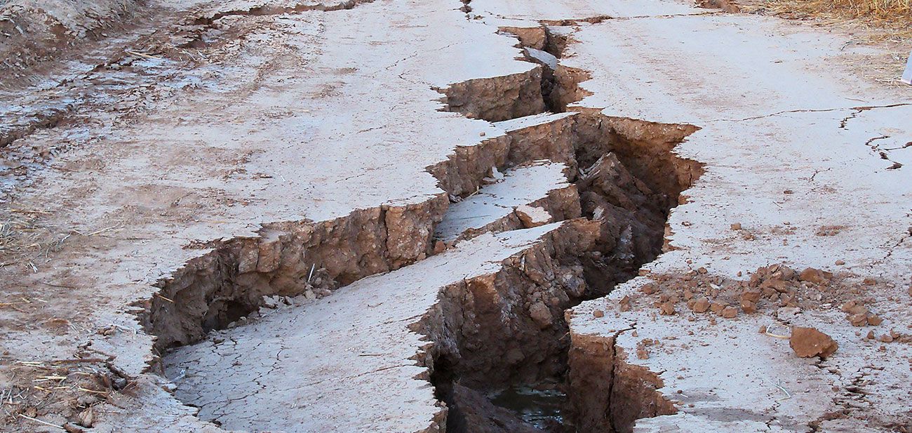
SSeismology is the study of the behavior of earthquakes and the transmission of energy waves through the ground as a result of those earthquakes. In particular, it’s looking at the nature of high ground acceleration that’s developed by offsets on faults. Seismology looks at the transmission of that energy through surrounding rocks, soil, and fill materials and essentially what happens to anything that is built over those materials. It goes hand in hand with engineering geology in the evaluation of seismological type geological hazards that are present in the environment. These can include land sliding, flash floods, mudflows, debris flows, quick ground, soft ground, adverse seepage, and a whole variety of different issues that can be difficult to address.

With regard to seismology, there are two major factors we look at. First, we interpret the development of seismic response spectra for particular sites. This allows us to estimate the risks of seismic effects on development and to interpret after the fact what occurred during an earthquake. Second, we examine the generation of a variety of different seismologic hazards such as ground cracking, liquefaction, and other related changes to the earth.

Planning/Design/Feasibility

The performing of mineral resource evaluations allows for an analysis of the levels of geological material deposited in the subsurface, namely, mineral blocks. Depending on hte type of situations presented, different types of analysis and estimations are made to give a clearer view of the number of resources resting in a specific geological location. Including soil compositions analysis, these estimations are done with the utmost adherence to scientific apporaches that allow for a precise understanding of what lays in the area to be studied

ENGINEERING GEOLOGY AND SEISMOLOGY
  • Property due diligence – geologic characterization, geologic and related hazards
  • Feasibility of development
  • Special studies zone issues
  • Landslide and unstable ground evaluation
  • Foundation embedment
  • Caisson and piles – design and construction support
  • Dewatering, subdrainage, and groundwater control
  • Infiltration and seepage behavior
  • Rock strength and behavior
  • Rock netting and rockfall control
  • Black shales
  • Corrosive bedrock and soils
  • Hard rock – rippability and blasting
  • Karst and sinkhole terrain evaluation
  • Desert terrain – alluvial fan, bajada, mountain front
  • Marine / coastal terrain
  • Blufftop and terrace terrain
  • Lakes and water features
  • Evaluation of agricultural properties for development tile drainage issues
  • Special terrain – lowland desert – Coachella / Imperial / Great Valley
  • Flood plain issues
  • Storm drainage and control
  • Seismic hazard assessment – primary, including active fault / AP zone secondary, including liquefaction, dry seismic settlement, lateral spread
  • Earthwork and embankment design and construction
  • Mapping and site characterization
  • Subsurface exploration – drilling, trenching, geophysics
  • Natural systems evaluation – vegetation and its influence on terrain performance
  • Hillside and slope behavior, assessment, and performance
  • Soil and rock thermodynamics and physics
  • Earthwork and development influences on offsite areas
  • Trenching and subterranean construction
  • Mining operations, SMARA and related issues
  • Land reclamation
  • EIR and SP / CEQA, NEPA related studies
  • Mineral resource evaluations
  • Structural geologic evaluation, rock fabric and its characterization
  • Stratigraphy and sedimentation
  • Tectonics
  • Aerial, aerial stereo, and satellite mapping / historical evaluation
  • Remote sensing studies and interpretation
  • Geologic hazard assessment, mitigation, and risk management

MORE SERVICES