
The world beneath our feet is an intricate web of materials and processes, both stable and dynamic. Within this subterranean realm, geotechnical instrumentation serves as our eyes and ears, providing vital data that shapes our understanding of earth materials and their behavior. This blog, brought to you by G3Soilworks, delves into the diverse array of these instruments, shedding light on their applications and emphasizing their importance in ensuring structural safety and stability. Read on!
At its core, geotechnical instrumentation refers to the specialized tools and techniques used to monitor the physical properties of soil, rock, and structures. These instruments allow engineers to assess the condition and performance of earth materials, offering insights critical for the design, construction, and maintenance of various engineering projects. The data collected can include moisture content, stress, strain, displacement, and pore water pressure, among others, forming the foundation for informed decision-making and risk management.
Piezometers stand as a cornerstone in the realm of geotechnical instrumentation, meticulously designed to measure the fluid pressures within the soil or rock. This capability is not just a matter of recording data; it’s about understanding the dynamic interactions between water and earth materials. By accurately measuring pore water pressure, piezometers provide insights into the hydrostatic and hydrodynamic conditions affecting soil and rock stability. This is especially crucial in areas prone to landslides or where construction activities may alter the natural balance of groundwater pressures. The role of piezometers extends beyond mere observation, as they offer a predictive glimpse into potential shifts in soil stability, enabling engineers to devise mitigation strategies that preemptively address the risks associated with excess pore pressures and their impact on slope and foundation stability.
Inclinometers offer a precise method for tracking the deformation and movement of soil, rock, and structures. These sophisticated instruments are adept at capturing even the slightest tilt or shift, providing critical data for evaluating the stability of slopes, embankments, and man-made structures. In geotechnical engineering, the data from inclinometers is invaluable for monitoring the progressive movement of landslides, the bending of retaining walls, or the settling of large structures. Their application is particularly relevant in projects that involve significant excavation or the construction of tunnels, where understanding the behavior of surrounding materials under stress is essential for maintaining safety and stability. By offering real-time monitoring capabilities, inclinometers enable engineers to react swiftly to signs of distress, thereby preventing potential failures before they escalate into catastrophic events.
Settlement plates provide a direct and effective means of measuring the compression and consolidation of soil under the weight of new constructions. These simple yet powerful monitoring instruments are crucial for monitoring the settlement of the ground, which can indicate the health and longevity of a structure’s foundation. By analyzing the rate and pattern of settlement, engineers can identify potential problems related to soil compaction or the uneven distribution of loads. This is particularly important in large-scale infrastructure projects, where the integrity of roadways, bridges, and buildings relies on a stable foundation. Settlement plates help ensure that construction specifications are met and that the underlying soil behaves as expected, safeguarding against future structural issues that could compromise safety.
Strain gauges are essential tools for assessing the mechanical behavior of materials under load. By measuring strain, these instruments provide insight into the stress distribution and potential deformation of structures and earth materials. In the context of geotechnical engineering, strain gauges are often applied to critical infrastructure components such as dams, bridges, and retaining walls. They enable the continuous monitoring of structural health, identifying areas of potential weakness before they evolve into significant threats. The data obtained from strain gauges can inform maintenance and repair strategies, extending the lifespan of vital structures and ensuring their continued performance under varying load conditions.
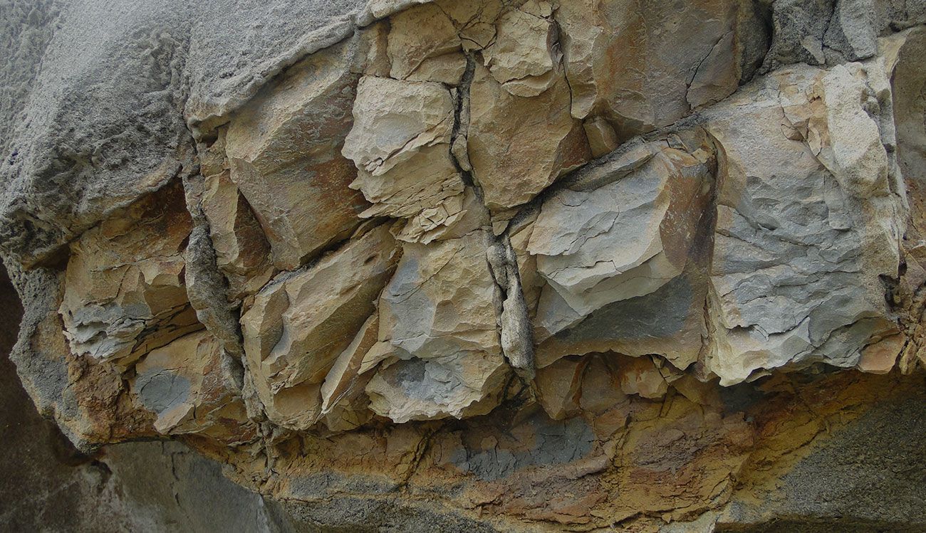
Ground Penetrating Radar (GPR) technology revolutionizes the way engineers and geologists explore the subsurface. By emitting high-frequency radio waves and measuring their reflection off underground structures, GPR provides a window into the unseen world beneath our feet. This non-destructive method is instrumental in identifying buried objects, voids, and inconsistencies in soil and rock. Its applications in geotechnical investigations, utility mapping, and archaeological surveys demonstrate its versatility and effectiveness. GPR technology allows for the rapid assessment of subsurface conditions, aiding in the planning and execution of construction projects and the maintenance of existing infrastructure by mitigating the risks associated with unknown underground anomalies.

Remote monitoring systems have transformed the landscape of geotechnical engineering by harnessing the power of digital technology to observe and analyze conditions from afar. These systems integrate various sensors and instruments, such as piezometers, inclinometers, and strain gauges, all connected through wireless networks. This connectivity allows for the continuous transmission of data to centralized databases where engineers can access and analyze information in real-time. The advantage of remote monitoring is profound in large-scale construction projects and the management of critical infrastructure like dams, bridges, and highways. These systems facilitate early detection of potential issues, such as structural movement or water seepage, enabling timely interventions that can prevent failures and ensure public safety. Moreover, remote monitoring technologies are instrumental in reducing the need for physical site visits, thereby lowering costs and increasing efficiency.
Fiber optic sensors have emerged as a cutting-edge solution in the field of geotechnical instrumentation, offering unparalleled precision in the measurement of physical parameters like strain and temperature. These sensors utilize the principle of light modulation within fiber optic cables to detect changes in the surrounding environment. The benefits of fiber optic sensors are manifold. They are highly sensitive, capable of capturing minute changes over large distances, and immune to electromagnetic interference, making them ideal for use in complex geotechnical applications. Their application ranges from monitoring the structural health of buildings and bridges to detecting landslides and other geohazards. The ability to provide continuous, high-resolution data makes fiber optic sensors invaluable for ensuring the safety and durability of infrastructure. Additionally, the inherent durability and low maintenance requirements of fiber optic technology make it a cost-effective option for long-term monitoring projects.
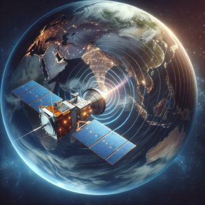
Satellite Interferometry, commonly known as InSAR, represents a paradigm shift in how geotechnical professionals monitor and analyze the Earth’s surface. This advanced technique utilizes radar satellites to capture high-resolution images, which are then analyzed to detect ground movements with millimeter-level accuracy. InSAR’s capability to monitor large areas from space makes it an invaluable tool for assessing land subsidence, slope stability, and the effects of seismic activity across vast regions. One of the key advantages of InSAR is its ability to provide continuous, wide-area coverage without the need for ground-based monitoring equipment, enabling the detection of trends and movements that might otherwise go unnoticed. This technology is particularly useful for urban planning, mining operations, and the management of water resources, where understanding the ground’s behavior is crucial for mitigating risks and planning future developments. InSAR’s global perspective on geotechnical risks offers a proactive approach to disaster management, environmental monitoring, and infrastructure maintenance, making it a cornerstone of modern geotechnical monitoring strategies.
The field of geotechnical monitoring instruments is on the brink of a new era, propelled by technological advancements and a deeper understanding of earth materials. Emerging trends, such as the integration of artificial intelligence and machine learning, promise to enhance the accuracy and efficiency of such instruments. As these innovations continue to evolve, their implications for the industry are profound, heralding a future where geotechnical risks are managed with unprecedented precision.
Geotechnical instrumentation stands as a testament to humanity’s ingenuity in harnessing technology to understand and interact with the natural world. By providing critical data on earth materials and their behavior, these instruments play an indispensable role in ensuring the safety and stability of our built environment. G3Soilworks continues to pioneer the exploration and adoption of advanced geotechnical monitoring solutions, leading to enhanced project outcomes and improved risk management. Call us at +1 714-668-5600 for more information.
Answer: Geotechnical instruments play a pivotal role in environmental sustainability by enabling more efficient use of resources and minimizing the environmental impact of construction projects. By providing accurate data on soil conditions and subsurface materials, these instruments help in designing foundations that require less material without compromising safety. Additionally, the early detection of potential geotechnical issues reduces the need for extensive corrective measures, further preserving the natural landscape and reducing waste.
Answer: Yes, geotechnical instrumentation can significantly improve project timelines by enabling real-time monitoring and data analysis. This allows project managers and engineers to make informed decisions quickly, adjust project plans as needed, and avoid delays caused by unforeseen subsurface conditions. The precision and efficiency provided by advanced geotechnical instruments streamline the construction process, from planning through to completion.
Answer: Geotechnical monitoring enhances public safety by continuously assessing the stability and integrity of structures and the ground on which they stand. By detecting movements, shifts, or other potential issues early, engineers can take preemptive actions to mitigate risks, such as reinforcing structures or evacuating areas at risk of landslides or subsidence. This proactive approach ensures that infrastructure remains safe for public use and reduces the likelihood of catastrophic failures.
Follow, engage, learn. Stop by our blog to see what’s happening at G3SoilWorks.
G3Soilworks – a full service geotechnical/ engineering geologic consulting firm serving clients since 2009 and delivering expert solutions with our highly experienced team and specialized consultants.
G3SoilWorks
350 Fischer Avenue Costa Mesa, CA 92626
Tel. 714.668.5600
E. info@g3soilworks.com


