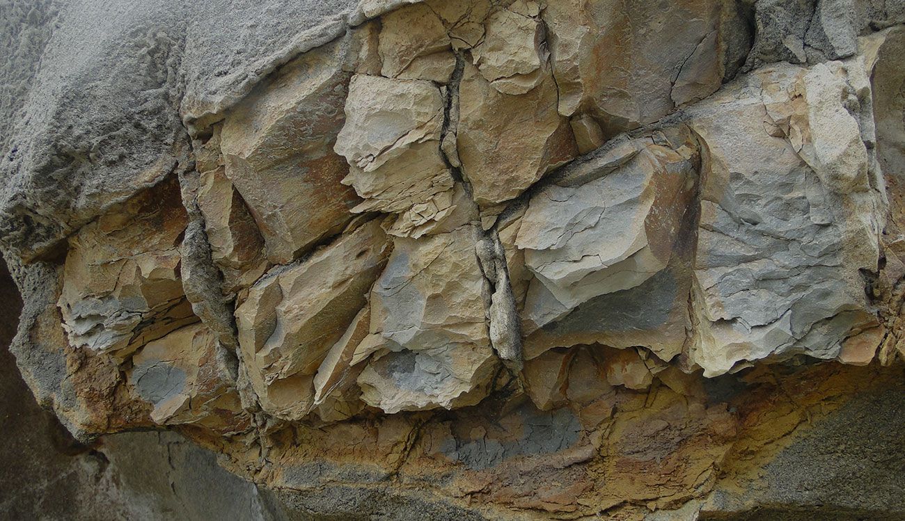
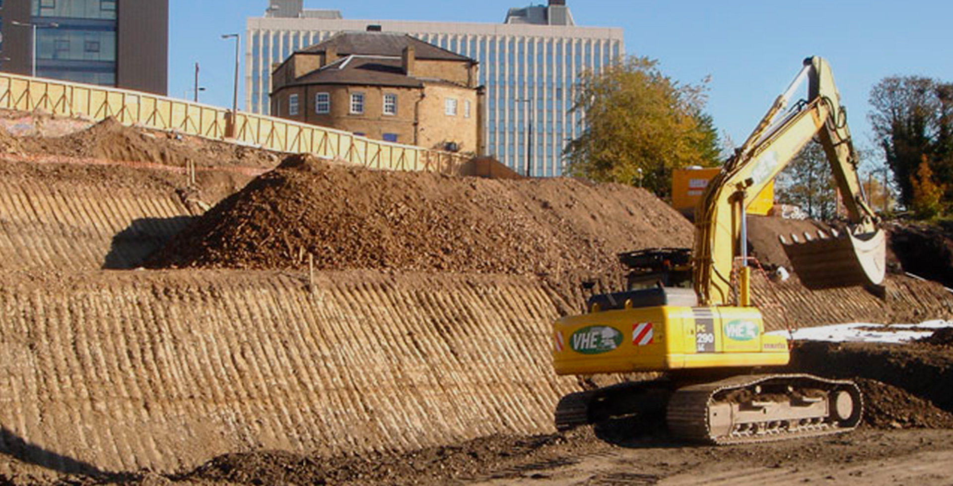
Landslides are among the most destructive geologic hazards, capable of causing catastrophic damage to infrastructure, disrupting transportation networks, and threatening human safety. In regions with steep terrain, variable geology, or intense rainfall—common across parts of the western United States—slope instability remains a persistent engineering challenge. For firms like G3SoilWorks, where decades of geotechnical and engineering geologic expertise inform project decisions, the importance of proactive risk management is clear: early detection is not optional—it is essential.
At the core of modern risk mitigation is slope monitoring, which enables engineers to track changes in ground behavior before failure occurs. Traditional methods, while effective, often rely on periodic manual readings that may miss rapid changes. Today, real-time monitoring systems powered by wireless and IoT technologies are transforming how engineers approach instrumentation and monitoring of slope stability, allowing for continuous, high-resolution data collection and faster response times.
Modern technology has introduced smarter, more connected systems that integrate sensors, telemetry, and predictive analytics. These advancements are critical not only for preventing disasters but also for improving long-term slope performance, optimizing maintenance, and ensuring regulatory compliance. As infrastructure expands into more challenging terrain, the role of intelligent monitoring systems continues to grow.
Wireless and IoT (Internet of Things) slope monitoring systems represent a significant evolution in geotechnical engineering. These systems are designed to continuously collect, transmit, and analyze data from slopes using interconnected devices, eliminating the need for frequent on-site manual measurements.
At their core, these systems consist of three primary components:
IoT enhances traditional monitoring by enabling seamless integration between devices and systems. Instead of isolated measurements, engineers now have access to a comprehensive, real-time dataset that captures the dynamic behavior of slopes. This shift from periodic to continuous monitoring is particularly valuable for detecting subtle changes that may indicate early-stage instability.
Wireless and IoT-based systems detect landslides by monitoring a combination of geotechnical and environmental parameters that influence slope behavior. These systems are designed to identify both gradual and rapid changes, providing early warning before catastrophic failure.
Key measurements include:
These measurements are essential for both monitoring surface settlement and deeper subsurface movements, offering a complete picture of slope performance.
Unlike traditional methods, IoT systems provide continuous data streams. When predefined thresholds are exceeded—such as sudden increases in displacement or pore pressure—the system automatically triggers alerts. These alerts can be sent via email, SMS, or integrated project management systems, enabling immediate response.
Advanced systems incorporate predictive analytics, using historical and real-time data to identify trends and forecast potential failure scenarios. By analyzing movement rates and acceleration patterns, engineers can distinguish between stable conditions and progressive failure mechanisms.
This capability transforms monitoring from a reactive process into a proactive one, allowing for timely interventions such as drainage improvements, slope reinforcement, or evacuation measures.
The adoption of wireless and IoT technologies in geotechnical monitoring offers several significant advantages over conventional approaches.
Engineers can access data from any location, reducing the need for frequent site visits. This is especially valuable for remote or hazardous sites where access is limited. Real-time insights enable faster decision-making and improved project oversight.
While initial setup costs may be higher, IoT systems reduce long-term expenses by minimizing labor, travel, and manual data collection. Continuous monitoring also helps prevent costly failures, making it a cost-effective solution for large-scale projects.
By providing early warnings, these systems significantly enhance safety for workers and nearby communities. Real-time monitoring allows engineers to respond quickly to changing conditions, reducing the likelihood of unexpected failures.
IoT-based systems can be scaled to monitor large areas or multiple sites simultaneously. This makes them ideal for infrastructure corridors, mining operations, and large construction projects. They also integrate seamlessly with broader instrumentation & monitoring services, supporting comprehensive geotechnical programs.
Continuous data collection improves accuracy and reduces uncertainty. Engineers can analyze trends over time, refine models, and make more informed decisions regarding design, maintenance, and risk management.
Wireless and IoT slope monitoring systems are increasingly being applied across a wide range of industries and environments.
These applications often require integrated solutions that combine instrumentation and monitoring of slope stability with settlement monitoring and environmental data collection.
As cities and infrastructure systems become more connected, slope monitoring is being integrated into broader smart infrastructure frameworks. Data from slope monitoring systems can feed into centralized platforms that manage transportation, utilities, and emergency response systems.
Looking ahead, several trends are shaping the future of slope monitoring:
For experienced firms like G3SoilWorks, these innovations represent an opportunity to further enhance project outcomes by combining decades of field expertise with cutting-edge technology.
As geotechnical challenges grow more complex, the need for advanced monitoring solutions becomes increasingly critical. Wireless and IoT technologies are redefining how engineers approach slope monitoring, enabling real-time insights, predictive analytics, and proactive risk management. By integrating these systems into comprehensive instrumentation & monitoring services, firms can significantly improve safety, efficiency, and long-term performance.
With over 100 years of combined experience in geotechnical and engineering geologic consulting, G3SoilWorks is uniquely positioned to deliver high-quality solutions that align with modern industry demands. From slope stability monitoring to monitoring settlement and monitoring surface settlement, the integration of smart technologies ensures that projects are not only compliant but resilient.
Ultimately, the future of slope monitoring lies in the seamless combination of engineering expertise and intelligent systems—an approach that continues to set new standards in safety and performance.
Data review frequency depends on project risk level, but high-risk slopes often require daily or continuous automated review, especially during critical phases like excavation or heavy rainfall.
Climate directly influences sensor selection and system configuration, as factors like rainfall intensity, temperature fluctuations, and freeze-thaw cycles can significantly impact slope behavior.
Thresholds are established based on baseline site data, geotechnical analysis, and historical performance, allowing engineers to define acceptable movement limits and trigger alerts when exceeded.
Yes, many modern systems integrate with project management and BIM platforms, enabling real-time data sharing across engineering, construction, and safety teams.
Routine maintenance includes sensor calibration, battery replacement (for wireless units), data validation checks, and periodic system audits to ensure accuracy and reliability over time.
Follow, engage, learn. Stop by our blog to see what’s happening at G3SoilWorks.
G3Soilworks – a full service geotechnical/ engineering geologic consulting firm serving clients since 2009 and delivering expert solutions with our highly experienced team and specialized consultants.
G3SoilWorks
350 Fischer Avenue Costa Mesa, CA 92626
Tel. 714.668.5600
E. info@g3soilworks.com


